

Agisoft Metashape Professional Edition
/Agisoft
Rs:
Photogrammetric triangulation
Processing of various types of imagery: aerial (nadir, oblique), close-range, satellite. Auto calibration: frame (incl. fisheye), spherical & cylindrical cameras. Multi-camera projects support. Scanned images with fiducial marks support.
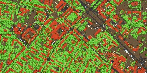
Dense point cloud: editing and classification
Elaborate model editing for accurate results. Automatic multi-class points classification to customize further reconstruction. Import/export to benefit from classical point data processing workflow.
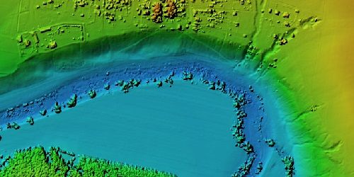
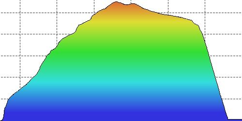
Digital elevation model: DSM/DTM generation and editing
Digital surface and/or digital terrain model depending on the project. Georeferencing based on EXIF meta data/flight log, GCPs data. EPSG registry coordinate systems support: WGS84, UTM, etc. Configurable vertical datums based on the geoid undulation grids. DEM editing: breaklines drawing, fill tools.
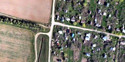
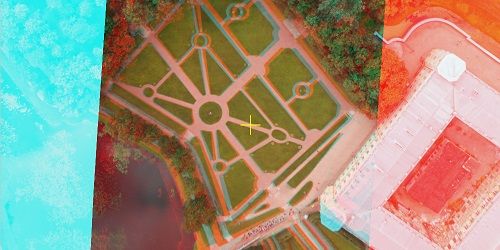
Georeferenced orthomosaic generation
Georeferenced orthomosaic: most-GIS-compatible GeoTIFF format; KML files to be located on Google Earth. Export in blocks for huge projects. Color correction for homogeneous texture. Inbuilt ghosting filter to combat artifacts due to moving objects. Custom planar and cylindrical projection options for close range projects.
LiDAR data support
Aerial LiDAR point attributes support. External registration support for laser scans. Marker-based alignment of laser scans. Laser scans visualization in Model view. Ground points classification adapted for LiDAR data.
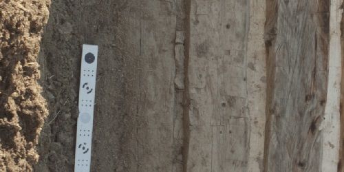
Ground control points / scale bar support
GCPs import for georeferencing and control over the accuracy of the results. Coded/non-coded targets auto-detection for fast GCPs input. Scale bar tool to set reference distance without implementation of positioning equipment.
Measurements: distances, areas, volumes
Inbuilt tools to measure distances, areas and volumes. To perform more sophisticated metric analysis the products of photogrammetric processing can be smoothly transferred to external tools thanks to a variety of export formats.
Stereoscopic measurements
Professional 3D monitors and 3D controllers support for accurate and convenient stereoscopic vectorization of features and measurement purposes.
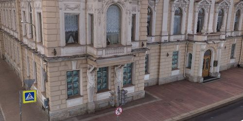
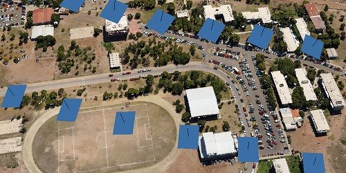
3D model: generation and texturing
Various scenes: archaeological sites, artifacts, buildings, interiors, people, etc. Direct upload to various online resources and export to many popular formats. Photorealistic textures: HDR and multifile support (incl. UDIM layout).
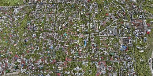
Hierarchical tiled model generation
City scale modeling preserving the original image resolution for texturing. Cesium publishing.

4D modeling for dynamic scenes
Multi camera rig data processing for creative projects in cinematographic art, game industry, etc. Basis for numerous visual effects with 3D models reconstructed in time sequence.
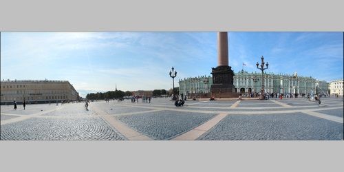
Panorama stitching
3D reconstruction for data captured from the same camera position — camera station, provided that at least 2 camera stations are present. 360° panorama stitching for one camera station data.
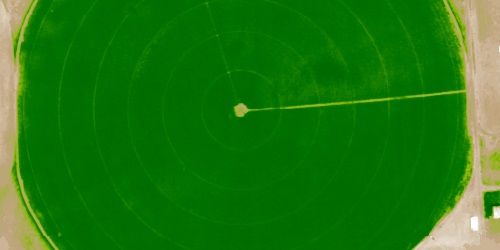
Multispectral imagery processing
RGB/NIR/thermal/multispectral imagery processing. Fast reconstruction based on preferable channel. Multichannel orthomosaic generation and user-defined vegetation indices (e.g. NDVI) calculation and export.
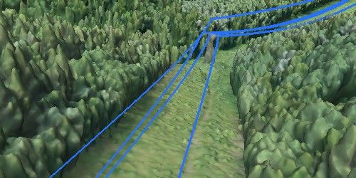
Automatic powerlines detection
Straightforward and time-efficient for large-scale projects since requires only aligned images as the input. Results export in a form of a 3D polyline model for every wire. Robust results thanks to catenary curve fitting algorithm.
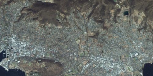
Satellite imagery processing
Common processing workflow for panchromatic and multispectral satellite images is supported, provided that sufficiently accurate RPC data is available for each image.

Python and Java API
In addition to Batch processing - a way to save on human intervention, Python scripting and Java bindings suggests for sophisticated automation and customization options. Starting from the adding custom processing operations to the application GUI up to the complete job automation and integration to Python or Java pipeline.
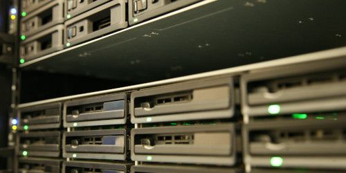
Network processing
Distributed calculations over a local computer network to use combined power of multiple nodes for huge data sets processing in one project.

Cloud processing
Cloud processing interface allows to save on the hardware infrastructure for photogrammetric pipeline, with further option to visualize and share the variety of the processing results online with colleagues or customers, as well as to embed published projects in your own web platforms.


+977-9842496370
info@geosatsolutions.com.np
CTC MALL (CIVIL TRADE CENTER), Shop no 209, Kantipath, SUNDHARA, Kathmandu, Nepal, 44600